
For Lease
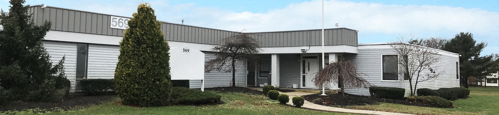
Office at Twin Rivers
569 Abbington Drive, Hightstown
Property
General Office
Availability
2 Spaces listed / 2250 Sqft
Price
$30/Sqft/Year