
For Lease
345 Kear St
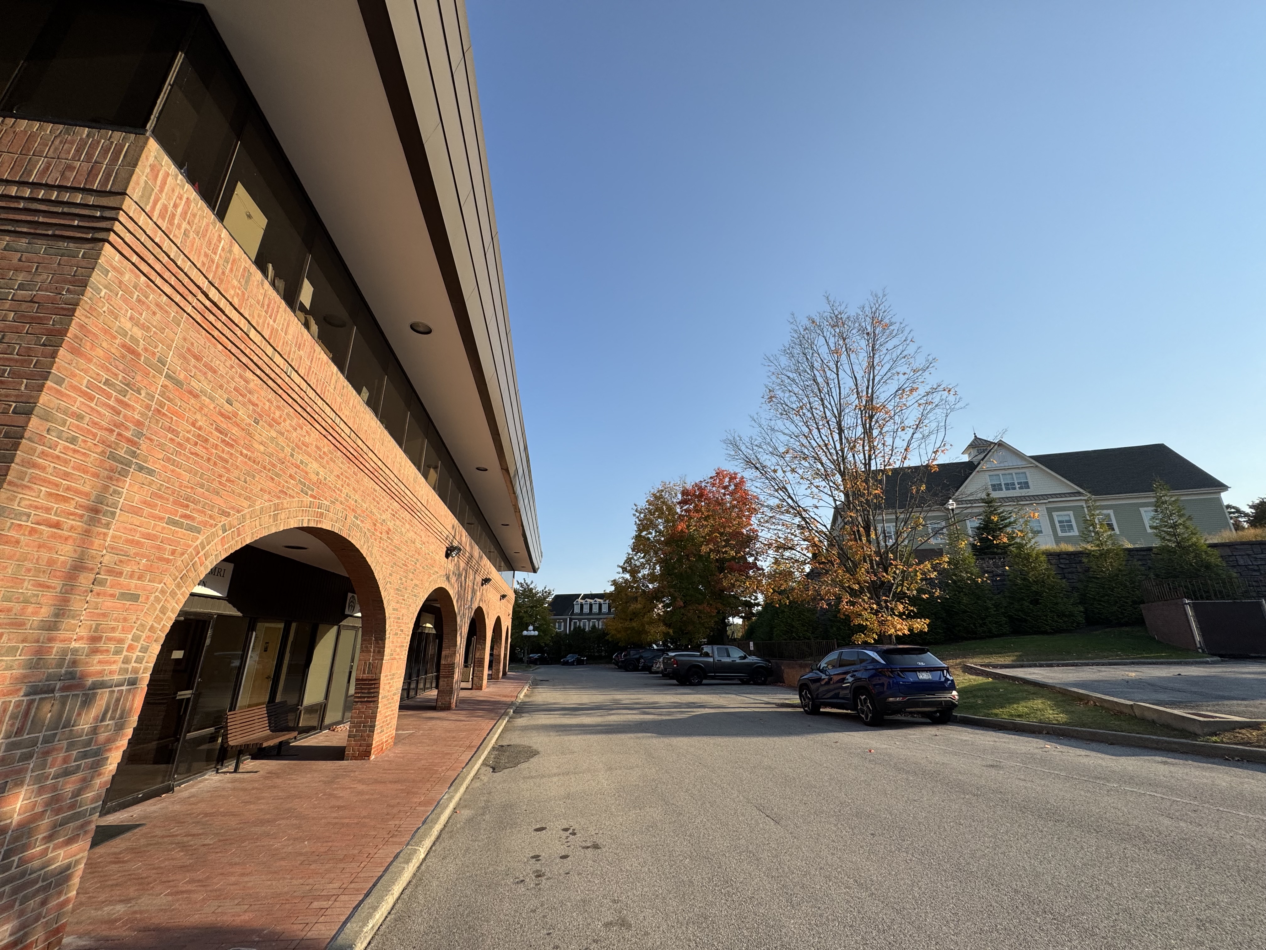
345 Kear Street, Yorktown Heights
Property
Retail
Availability
Spaces listed / Sqft
Price
Listing price not available