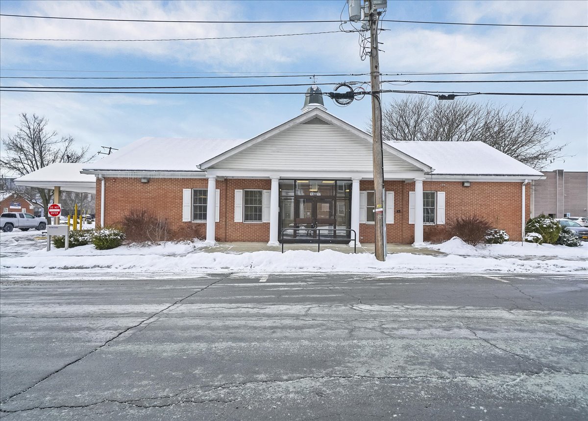
13 Hammond Street, Port Jervis, NY 12771 - Property report
Property type
Drive-In Branch Bank (462)
Year built
1992
Acreage
0.59
Sale price
$1.4M
General information
Area overview
Data provided by: Walk Score®
View more such as transportation, nearby schools and risk designations.
Ownership information for 13 Hammond Street, Port Jervis, NY
Sales history for 13 Hammond Street, Port Jervis, NY 12771
*Most recent sales on record for this property.
More about Orange County property records.
Title documents
*Most recent recorded documents on file for this property.
R: Recorded date
D: Document date
Property taxes for 13 Hammond Street, Port Jervis, NY
Property tax data includes tax amount, market value and assessed value, exemptions, abatements and assessment history.
More about Orange County Property Taxes
Assessment history
See the assessment and property tax history, including the evolution of the total tax rate and corresponding property tax amount.
Permit information for 13 Hammond Street, Port Jervis, NY
No recently recorded permits for this property.
Port Jervis residential market stats
Access a detailed real estate market overview of Port Jervis so you can assess current trends, home values, types of properties sold and transaction volume. View the median home sale price in Port Jervis and compare it to other neighborhoods in Orange.
Median sale price
$252,000
-2.7% Y-o-Y
Median price/sq. ft.
$160
-17.9% Y-o-Y
Orange county median sale price
$446,000
7.5% Y-o-Y
Demographics by ZIP code
Risk


Transportation
Access the detailed traffic volume map for 13 Hammond Street, Port Jervis, NY 12771 to see estimated average daily traffic on streets surrounding the property as well as the types of properties in its vicinity.
Neighbors for 13 Hammond Street, Port Jervis, NY
Nearby ZIP codes for 13 Hammond Street, Port Jervis, NY
Frequently asked questions
What is the year built for 13 Hammond Street, Port Jervis, NY 12771?
The development at 13 Hammond Street, Port Jervis, NY 12771 was built in 1992.
What is the market value of 13 Hammond Street, Port Jervis, NY 12771?
The current market value of 13 Hammond Street, Port Jervis, NY 12771 is $1,000,000.
What is the total square footage of 13 Hammond Street, Port Jervis, NY 12771?
13 Hammond Street, Port Jervis, NY 12771 has a total of 3,203 square feet.
What is the price per square foot for this property?
$437 per square foot is the price for 13 Hammond Street, Port Jervis, NY 12771.
How many active listings does 13 Hammond Street, Port Jervis, NY 12771 have?
This address has 1 active listing(s).
Disclaimer
Copyright 2003-2026 by PropertyShark.com
All data comes from government sources. No attempt has been made to validate it. No attempt has been made to validate the accuracy of the programming of this website.
Do not rely on this report to support investment decisions. The only authoritative source for the information in this report is the government agencies from which the data was acquired.