Due to the nature of this address' parcel subdivisions, there may be only limited information available in this property report.
To explore the full range of property information for this address, log in or create a free account and view the property reports of each individual parcel.
View more neighborhood information
such as transportation, nearby schools and risk designations in the dedicated tab.
Other Property Data for 672 Ocean Avenue, Brooklyn
New York property reports include comprehensive occupancy, development and violation information. Create a free account to access valuable data points such as:
Floor area ratio (FAR) for 672 Ocean Avenue, Brooklyn, NY 11226, including commercial and residential FAR, FAR as built and usable floor area.
Development maps such as planimetric, zoning, urban landscape, and HPD alternative enforcement program maps.
Violations for 672 Ocean Avenue, Brooklyn, NY 11226, including DOB violations, ECB violations, HPD violations and 311 complaints.
Alternate Addresses
You will find all alternate addresses for the property in this section.
670-672 Ocean Ave, Brooklyn, NY 11226
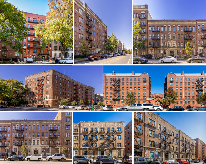
About 672 Ocean Avenue, Brooklyn
What is the year built & the total sq. ft. for 672 Ocean Avenue, Brooklyn, NY 11226?
672 Ocean Avenue, Brooklyn, NY 11226 was built in 1926 and has a total of 37,800 square feet.
What is the assessed value of 672 Ocean Avenue, Brooklyn, NY 11226?
The assessed market value for the current tax year is $1,061,100.
When was 672 Ocean Avenue, Brooklyn, NY 11226 last sold and what was the last sale price?
672 Ocean Avenue, Brooklyn, NY 11226 was last sold in 04/01/2020 for $7,185,567.
How many residential units does this building have?
This building has 34 residential unit(s).
There are 1 active listings at this address.
Ownership Information for 672 Ocean Avenue, Brooklyn
View property contacts like owners, building management, representatives from permits and tenants with a free account.
For LLC-owned properties, access manually researched real owners and phone numbers.
Property owner name for 672 Ocean Avenue, Brooklyn, NY 11226
Find out who owns 672 Ocean Avenue, Brooklyn, NY 11226. Sign Up
Building contacts for 672 Ocean Avenue, Brooklyn, NY 11226
World Cup ticket prices rival monthly housing expenses in the 11 U.S. host cities, with even the cheapest seats covering weeks or even months of rent or mortgage payments.
Research 100M+ property records powered by:
2000+ governmental and public data sources
80 dedicated analysts and researchers
20+ years of real estate experience
Learn More
Past Sales & Property History for 672 Ocean Avenue, Brooklyn
Create a free account to view the complete sales history for 672 Ocean Avenue, Brooklyn,
including title documents, transfer conditions, mortgages, liens, and pre-foreclosures.
Sale date
Sale price
Buyer name
Seller name
04/01/2020
$7,185,567
02/28/2013
$77,067,493
03/22/2007
$3,127,583
Unlock the complete sales history for 672 Ocean Avenue, Brooklyn with a free account. Sign up
*Here are the three most recent sales for this property.
Title Documents for 672 Ocean Avenue, Brooklyn
To view the complete history of deeds, mortgages, assignments of leases and rents, and more, sign up for free. Available data goes back to 1966.
Unlock title documents, including buyer and seller information (when available). Sign up
R: Recorded date D: Document date
Property Taxes for 672 Ocean Avenue, Brooklyn
Access detailed property tax data for 672 Ocean Avenue, Brooklyn, NY 11226. Tax information included: property tax, market value and assessed value, exemptions, abatements, and assessment history.
Here's the assessment & property tax history for 672 Ocean Avenue, Brooklyn, including the evolution of the total tax rate and corresponding property tax.
The complete history of permits filed for 672 Ocean Avenue, Brooklyn,
including new construction or demolition permits, plus any work pertaining to plumbing,
heating and sprinkler systems is available with a free account. Available data goes back to 1990.
Filing date
Job type
Job status
Job description
Initial cost
12/18/2018
Alteration type 2
02/04/2015
Alteration type 2
Unlock the complete permit history for 672 Ocean Avenue, Brooklyn with a free account. Sign up
Access a detailed real estate market overview of Brooklyn so you can assess current trends, property values, types of properties sold and transaction volume.
View the median price per sqft in Brooklyn
and compare it to other boroughs in New York City.