For Lease

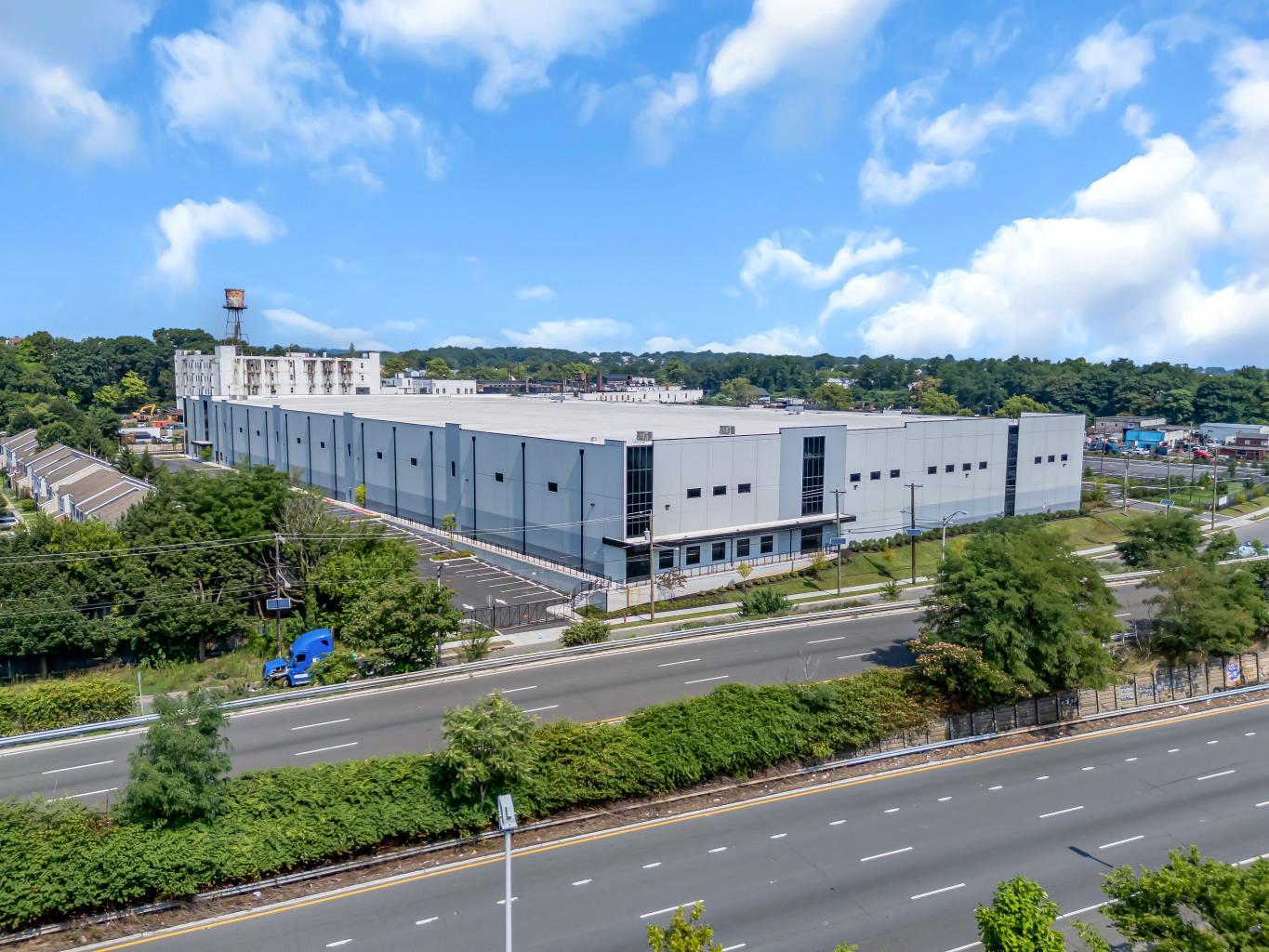
2013 McCarter Highway
2013 McCarter Highway, Newark
Property
Industrial
Availability
Spaces listed / Sqft
Price
Listing price not available