For Sale

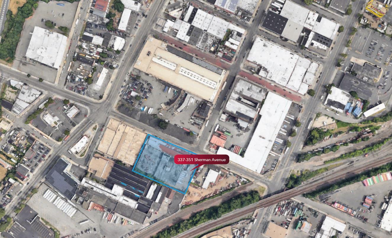
337-351 Sherman Avenue
337-351 Sherman Avenue, Newark
Property
Warehouse/Distribution
Availability
Spaces listed / Sqft
Price
$20,800,000