For Lease

Foundation Capital
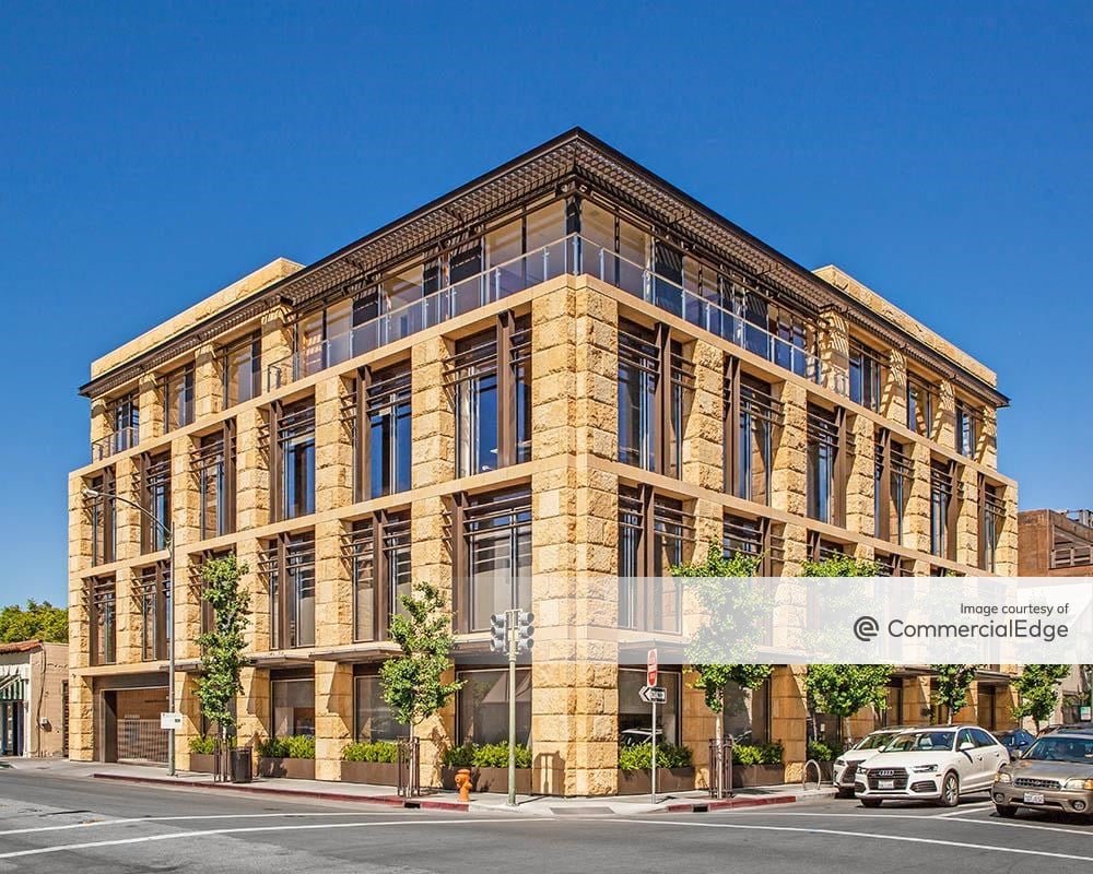
550 High Street, Palo Alto
Property
General Office
Availability
1 Spaces listed / 8024 Sqft
Price
Listing price not available